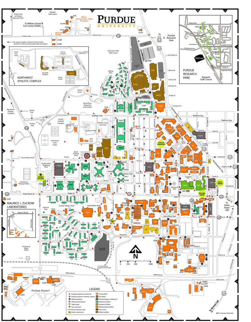
Based on the campus bicycle safety research it became clear that the university mapping systems: desktop computer, mobile device, or printed formats were not consistent or user friendly. This user experience research was conducted on over a dozen other campus mapping systems and a 33 page report was completed. Overall the print and digital maps were redesigned using an icon system that works with Google Maps. Updated color systems were put in place on the print and digital maps.